
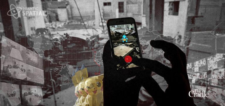
Pokémon Go Turned Its Players Into Pentagon Cartographers
For nine years, Pokémon Go asked its players to go outside and “catch ‘em all.” Millions of children and their parents walked through their cities with cameras raised. Some, chasing in-game rewards, filmed statues, parks, street corners and, in at least one case, the inside of an apartment. Someone else was gathering the results.
In June, Dutch daily Trouw traced how roughly 30 billion player scans helped train Niantic’s mapping systems. Niantic Spatial has since partnered with Vantor, the rebranded Maxar Intelligence and a major US defense contractor, to develop visual positioning for drones and other platforms in GPS-denied areas.